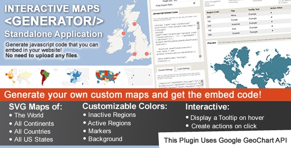
This is a standalone application where you can generate as many maps as you want and copy the embed code and place the maps in any of your websites! No need to upload any extra files to your website, just embed the code!! Compatible with Wix, SquareSpace, Joomla and other CMS’s that allow you to paste javascript code into the content! Check some of the Examples and test it yourself!
Create clickable maps for website, including a map of the US, a map of the World, or any other region available! Check the features below.
(Check out also the wordpress version of this application)
Features:
Show Different Regions
You will be able to generate hundreds of different kinds of maps, already including:
A map of the entire world.
A continent or a sub-continent. (Africa, Europe, Americas, Asia, Oceania and all their sub-continents)
A country. (virtually all the countries in the world are included, featuring the most requested: USA , United Kingdom, Canada, France, Germany, Spain, Italy, Brazil, India, Australia…)
A country divided by its regions.
A state in the United States.
The United States divided by metropolitan areas.
A state in the United States divided by metropolitan areas.
Color Regions or add Markers
You can add active colored regions to the map, and display them in 2 different ways:
As Regions – It will color the whole region, for example a continent, subcontinent, a country, a country province, or a US state.
As Markers -It will display a colored bubble in the chosen regions, that can be a city, a state or a country.
Add Interactivity
You can add interactivity to the active regions:
A Tooltip- A tooltip will be displayed by default on hover with the information you provide.
An Action – You can set up diferent kinds of action for when the user clicks in an active area. You can make a new URL open, or simply display a message. Advanced users will be able to create their own Javascript functions for customized actions.
Customizable
You will be able to costumize the visual of your maps:
Background color;
Box border width and color;
Inactive regions color;
Individual colors for each active region;
Markers size;
Width and Height of the map;
If you’re a CSS pro, you can also create custom classes and customize the maps even further, creating hover effects, changing the mouse cursor, among other stuff.
Add the Maps anywhere on your website
You can use a embed code and place it anywhere on your website! HTML5 compatible!
Partially Responsive
If no width is specified it will load with the maximum width available in the container div. For example, it will load and adapt with different sizes for phones/ipads/laptops. However, after loaded it will not change size if you resize the window.
Cross device and browser compatible
The maps are built in SVG , no flash is used and therefore they will display in Mac products.
_
This plugin uses the powerful Google Geochart API which creates the SVG vector maps.
